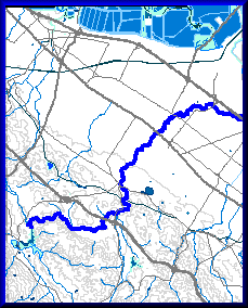
http://geography.wr.usgs.gov/sfcreek/dlg.html
Digital line graphs or GIG contain digital vector data that represents the cartographer information. They show information such as boundaries, roads, and utility lines. The map above is representing the San Francisco Creek.

No comments:
Post a Comment